Catálogo Oficial de Datos y Servicios INSPIRE (CODSI)
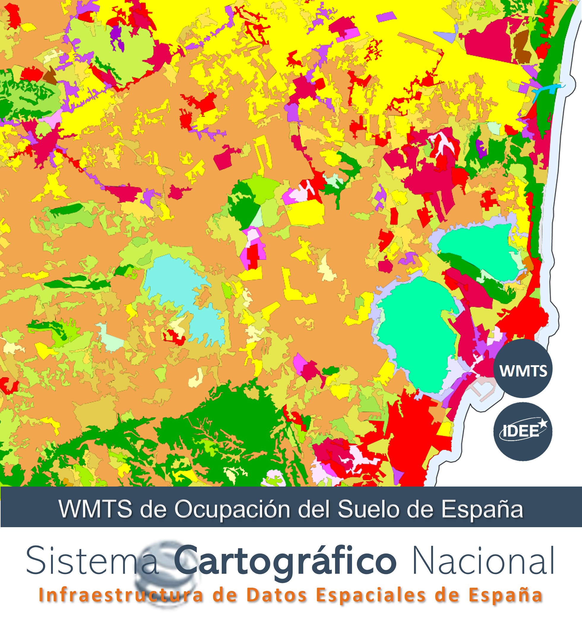
WMTS de ocupación de suelo de España
Web Map Tile Service of Spanish Land Cover Information (SIOSE) 2014 and CORINE Land Cover 2018. The naming of the layers is in accordance with the specifications of the INSPIRE Directive 2007/2/EC (name, title) as well as INSPIRE style by default. Tiles are pre-generated in PNG format and up to level 17 (corresponding to an approximate scale of 1:4.000) in the WGS84 Web Mercator Coordinate Reference System (EPSG:3857).
Servicio de visualización teselado que muestra Información de Ocupación de Suelo de España (SIOSE) 2014, CORINE Land Cover 2018 y Sistema de Información de Ocupación del Suelo en España de Alta Resolución (SIOSE AR) del año 2017 del Sistema Cartográfico Nacional (www.scne.es). La denominación de las capas es conforme con las especificaciones de la Directiva Inspire 2007/2/EC (nombre, título) así como estilo Inspire por defecto. Servicio de visualización Teselado conforme al perfil INSPIRE de Web Map Tile Service (WMTS) 1.0.0. Las teselas se pregeneran en formato PNG y hasta el nivel 17 (correspondiente con una escala aproximada 1:4.000) en el Sistema de Referencia por Coordenadas WGS84 Web Mercator (EPSG:3857).
Simple
Identification info
- Date (Publication)
- 2017-10-01
- Citation identifier
- SCNE / wmts_ocupacion-suelo
- Point of contact
-
Organisation name Individual name Electronic mail address Role Infraestructura de Datos Espaciales de España (IDEE)
Point of contact
-
WebServicesSpecification
-
-
1.0.0
-
WMTS
-
OGC
-
- Keywords
-
-
SCNE
-
Sistema Cartográfico Nacional
-
Infraestructura de Datos Espaciales
-
IDEE
-
España
-
- Access constraints
- Other restrictions
- Other constraints
- Sin limitaciones al acceso público.
- Use constraints
- Other restrictions
- Other constraints
- CC BY 4.0 scne.es
- Service Type
- view
))
- Coupling Type
- Tight
- Contains Operations
-
Operation Name Distributed Computing Platforms Connect Point GetCapabilities
Web services https://servicios.idee.es/wmts/ocupacion-suelo?request=GetCapabilities&service=WMTS GetTile
Web services https://servicios.idee.es/wmts/ocupacion-suelo
- Unique resource identifier
- ETRS89 en la Península, Illes Balears, Ceuta y Melilla. Coordenadas geográficas longitud y latitud.
- Distribution format
-
Name Version gml+xml 3.2
- OnLine resource
-
Protocol Linkage Name OGC Web Map Tile Service https://servicios.idee.es/wmts/ocupacion-suelo?REQUEST=GetCapabilities&SERVICE=WMTS Servicio de visualización teselado WMTS de Ocupación de Suelo de España
https://centrodedescargas.cnig.es/CentroDescargas/corine-land-cover Centro de Descargas del CNIG. CORINE
https://centrodedescargas.cnig.es/CentroDescargas/siose Centro de Descargas del CNIG. SIOSE
https://centrodedescargas.cnig.es/CentroDescargas/siose-ar Centro de Descargas del CNIG. CORINE
- Hierarchy level
- Service
- Other
-
Servicio web de datos espaciales. Servicio de visualización teselado
Conformance result
Conformance result
Conformance result
Metadata
- File identifier
- spaignwmts_ocupacion-suelo XML
- Metadata language
- Spanish; Castilian
- Hierarchy level
- Service
- Hierarchy level name
-
Servicio
- Date stamp
- 2025-05-16T09:40:47.550636Z
- Metadata standard name
-
Reglamento (CE) Nº 1205/2008 de INSPIRE
- Metadata standard version
-
TG 2.0
- Metadata author
-
Organisation name Individual name Electronic mail address Role Infraestructura de Datos Espaciales de España (IDEE)
Point of contact
- Other language
-
Language Character encoding English UTF8 Spanish; Castilian UTF8